


It is inevitable – soon, our planet will be circled by a fleet of miniaturized satellites. With the help of hyperspectral SmallSat imagers satellites, we can see what happens on the surface of the Earth.
For example, hyperspectral remote sensing will show us which parts of a mountain range contain valuable metals, reveal the large quantities of waste plastic in our oceans, etc.
With the help of hyperspectral SmallSat imagers, you can view a big picture in sharp detail. Every pixel you see on your screen will reveal the spectral signatures of different things like vegetation, soil, and minerals, thereby providing you with a complete breakdown of the visible and invisible frequencies of the light being reflected by the Earth.
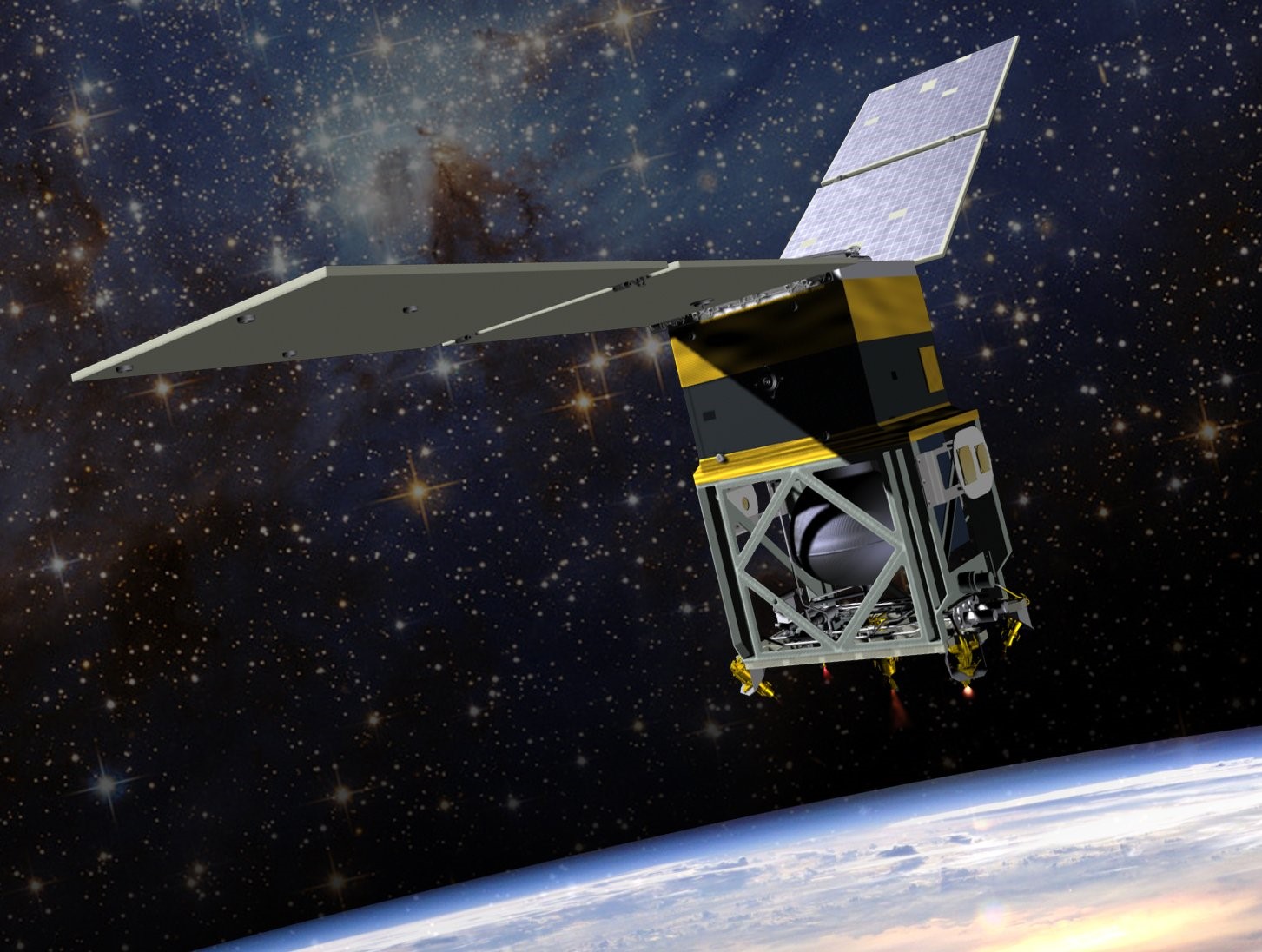
SmallSat Imagers – What Are They?
Before we get down to the gist of this article, let us first clear the basics – what are SmallSat imagers? SmallSat imagers or cameras are small cameras that are attached as payloads on small-sized satellites.
One of the most important benefits of these cameras is that the SmallSat imagers’ resolution is extremely high. These cameras can easily distinguish between objects in the low Earth orbit, ranging from a few meters to several centimeters.
In most cases, these optical payloads can easily capture and process multispectral and panchromatic images more than a dozen kilometers wide. Some more benefits of these cameras are high resistance to space conditions, large storage capacities, and high data processing and transmission speeds.
In today’s time, you will find the highest standard of modern satellite images that can be used on satellites that do not weigh more than 100 kg.
So, what are SmallSat imagers used for? These cameras are typically used for communications and defense. However, these satellites today are used for Earth Observation as well.
We will be provided with high-resolution satellite images to help you monitor agricultural fields, water covers, ice, and forests. Overall, accurate information about the Earth’s surface will help us deal with various other challenges.
What Is Hyperspectral Imaging And How Does It Work?
Now, let us learn what is hyperspectral imaging and how it works. Hyperspectral imaging has become extremely popular in scientific, industrial, and military arenas for over a decade. One of the reasons why this imaging has become so popular is because it can characterize the color of any viewed item very precisely.
With the help of this image, scientists and experts can make more informed decisions. At first, we had to use delicate, expensive, and large spectrometers for the same; now, we can do it in real-time with portable handheld units, unmanned aerial vehicles, and satellites.
Two main technological advancements helped in the development of hyperspectral imagery – high-quality and affordable diffraction gratings and advancements made in the processing of multiple dimension data.
Most hyperspectral imaging systems use a 2D focal plane detector, a diffraction grating, a narrow slit, and imaging optics. The slot will allow the image to be projected onto the diffraction grating, where the diffraction grating will separate the light based on the wavelengths.
A pixel will start getting energized at some level on each X-Y coordinate, depending on the light intensity in that wavelength and position. As a result, you will get a 3D array, which is the intensity, wavelength, and slit positions.
Difference Between Hyperspectral And Multispectral Imaging

Most people tend to get confused between hyperspectral and multispectral imaging. In the case of hyperspectral imaging, the images will have more than 100 contiguous spectral bands.
While multispectral imagery can only discriminate landscape patterns and land surface features, hyperspectral images will allow you to identify and/or characterize the materials. Apart from mapping the unique distributions of the materials, the individual pixels on the screen will also help identify various special objects in the targeted area.
What Are the Applications of Hyperspectral Imaging Satellites?
When it comes to such satellites, there are many hyperspectral imageries used. The main reason why hyperspectral imaging is preferred more than other bands is that you will be provided with a greater level of spectral detail.
You can view finer details when supplied with hundreds and thousands of narrow bands while combing for data. This way, you will be revealed new information you had no idea about before.
Hyperspectral SmallSat imagers are used for various purposes, including land use, disaster management, water resources, soil, geology, agriculture, and vegetation. Whatever may be the classification, the underlying principle is improving upon it. For instance, you will be provided with more data related to geological surface composition. The same can be said for land cover, soil classes, and vegetation types.
Let us take an example. With the help of hyperspectral imaging, you can identify pests that can ruin your crops. As for water resources, you will better understand water chemistry, quality, and bathymetry. In the case of disaster management, these images can help in prevention and/or post-monitoring.
As we can see, hyperspectral imaging is all about analyzing a broad spectrum of light instead of the primary RGB colors on each pixel. However, hyperspectral imaging systems are a bit of a rare commodity – it is because of the large data size and the level of complexity.
However, we are sure that storage and technology will develop rapidly in the future. Will these hyperspectral imaging satellites be used more often in the future? We will have to wait and find out!
Read Also: